Back to our adventures in October…
We had anchored in Portland Harbour for two nights with a view to taking the dinghy ashore and exploring the Isle of Portland.
This meant a row ashore (still no outboard engine!) and a 20 minute walk to the bus stop. Then a bus ride to Southwell and another walk to the headland. So much more interesting than just driving there in the car.
Portland Bill is a narrow promontory jutting out into the sea at the southern end of the Isle of Portland. It is the southern most point of Dorset. This is a dangerous coastline with shallow reefs and the Shambles sandbank. It is made more hazardous due to the strong Portland tidal race – a fast moving tide passing over the shallow seabed, resulting in waves, eddies and hazardous currents. It is an area of the coast that is notorious for shipwrecks. Tom Cunliffe (well known sailor and author of the Shell Channel Pilot Guide) describes it as ‘The most dangerous extended area of broken water in the English Channel.’ He also comments that ‘Quite substantial vessels have been known to disappear without trace.’ Scary stuff.
Over time, three lighthouses have been built on the headland to help protect shipping. The original two, built in 1716, worked together as a pair, but they were replaced in 1906 by the current red and white striped one. The original lighthouses are actually still standing. However, they are now a holiday let and a bird observatory.
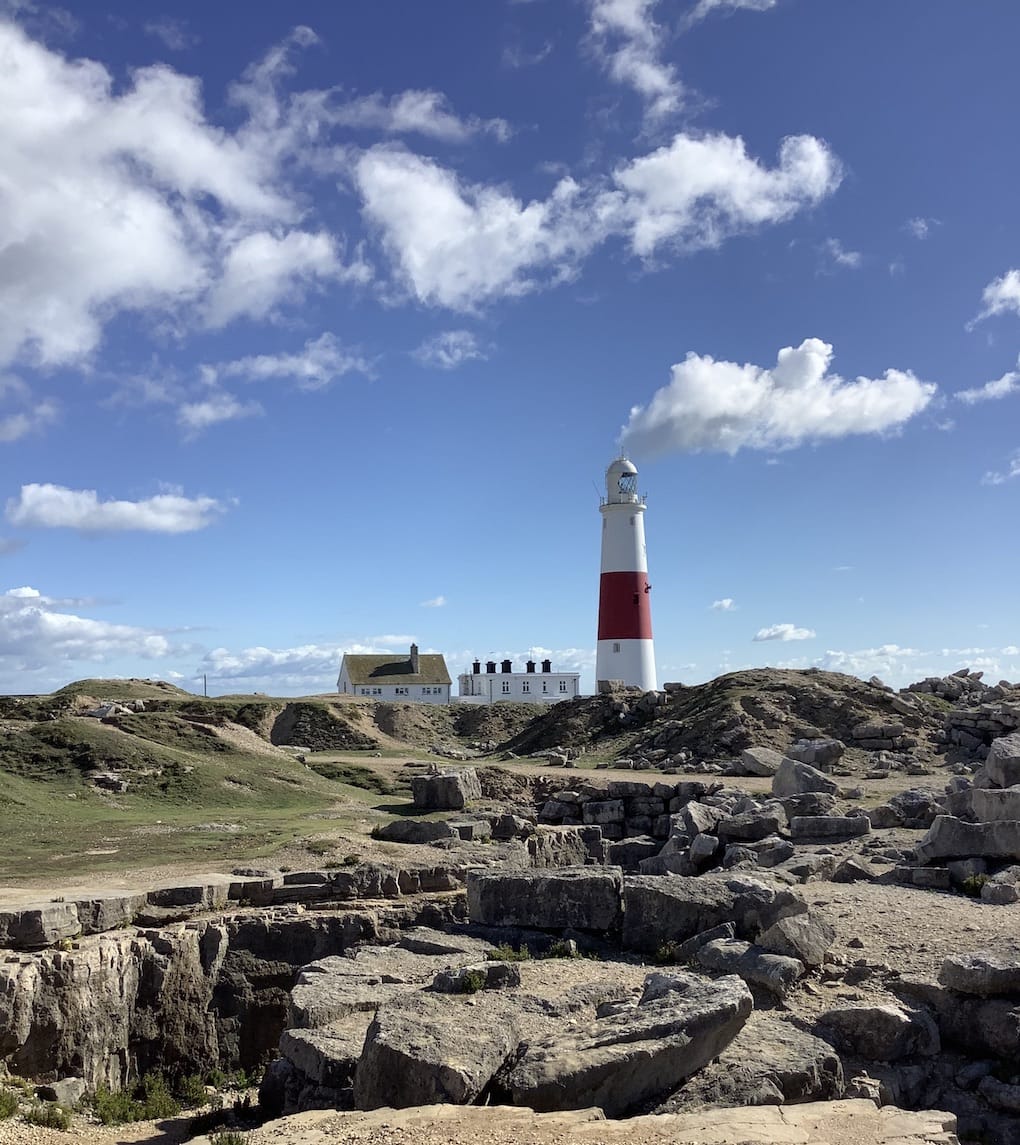
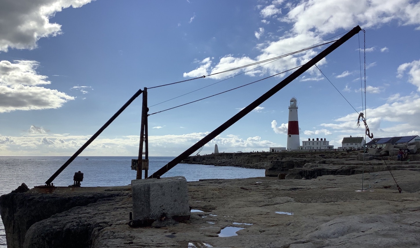
The headline, whilst most famous for the lighthouse, is surprising populated with a coast guard lookout, the Ministry of Defence Magnetic Range (Google it!), hundreds of beach huts and the remains of a disused stone loading quarry with Red Crane. This steel crane replaced the original wooden one. It is no longer used to move stone; it is now used by local fisherman to lower their boats into the sea.
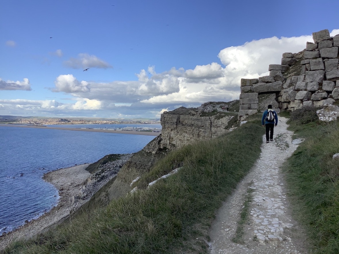
From the headland, we walked back along the coast. The path closely follows the cliff edge with sheer drops to the crashing waves below and amazing views across Lyme Bay and towards Chesil Beach
Chesil Beach (sometimes called Chesil Bank) is one of three major shingle structures in Britain. Its name is derived from Old English ‘ceosel’ or ‘chisel’ meaning gravel or shingle. It runs for 18 miles and it is, in places, up to 15 metres high and 200 metres wide. It is a UNESCO World Heritage Site.
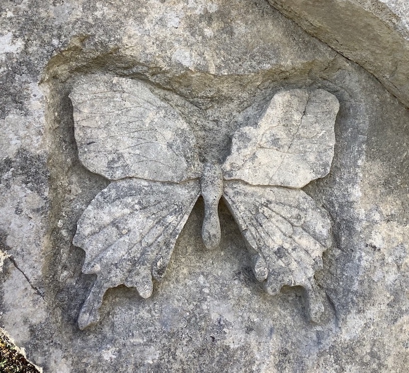
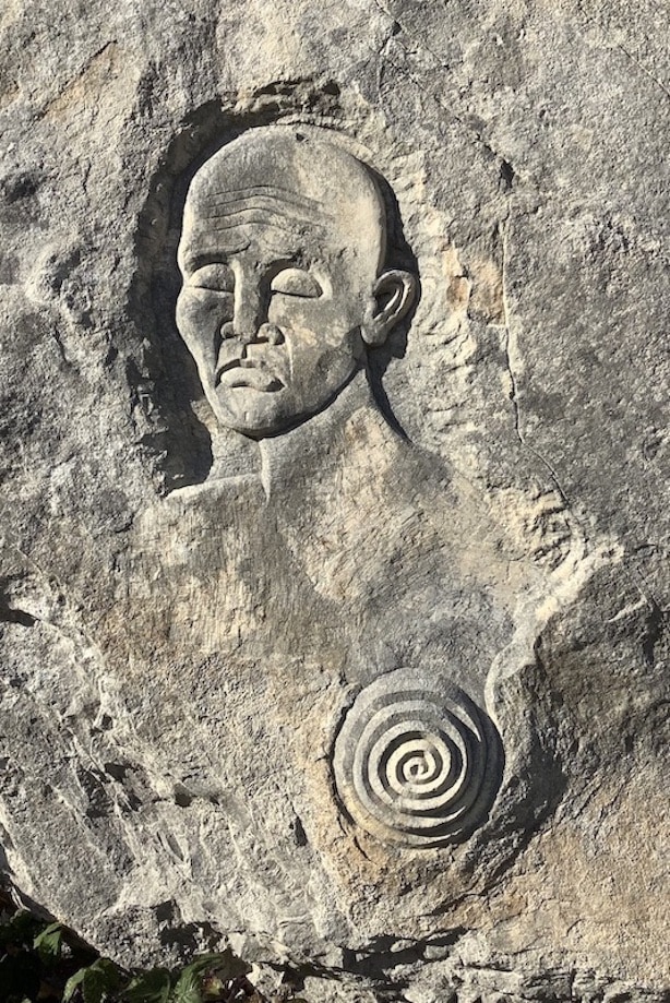
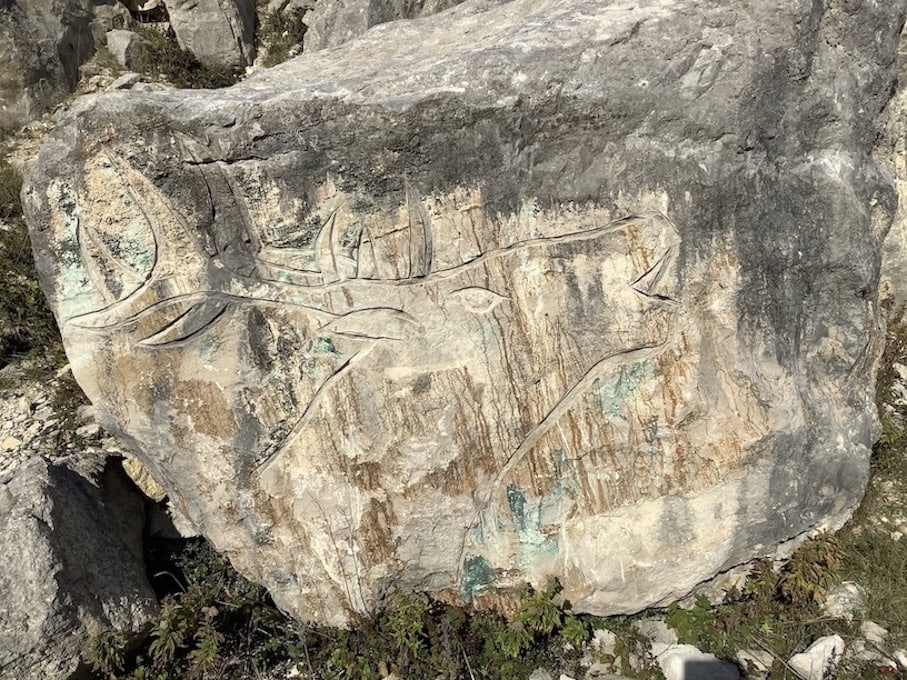
When visiting new places, we like to look out for something different. On this walk, we discovered Tout Nature Reserve and Sculpture Park. It was started in 1983, when well known and emerging artists started creating work in the labyrinths and gullies of the abandoned quarry workings. New artists rotate in and out each year, so the site is constantly changing and evolving. We didn’t see any stone masons creating their masterpieces, but we did manage to find about 12 of the sculptures (sounds impressive, however, there are actually over 60!!)

Also this used to be a big Navy helicopter base and rescue helicopters were based here and before that they had a big prison ship (HMS Weare) anchored in the harbour. I remember something about the prison ship being bought from the Americans for temporary use as we had so many prisoners and nowhere for them to go. When I was very active in the cycling club as a teenager we used to ride to Portland and Weymouth on our bikes and back at the end of the day.
Should have said from Southampton
Hi David and Hilary,
Happy New Year to you both.
We thought Portland was a very interesting place with so much history crammed into a relatively small space! Didn’t know about the helicopters and prison ship, but while we were there the Disney cruise ship was in the harbour. Is that the same thing??
Impressed about you riding from Southampton to Portland and Weymouth….thats a long way!!
Hope all is well with you and your family.
Stay safe
Caron and Martin